Excelente
892 Views
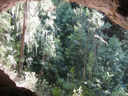
The municipality has a rather rugged relief, its topography is determined by mountain ranges that cross from south to north, among which the mountain range that rises between the Apulco and Zitlalcuautla rivers to the west of the Municipality stands out, and that runs from south to north for more than 10 kilometers, it is a high mountain range, more than 1,000 meters high with respect to the level of the Apulco River and with several branches.
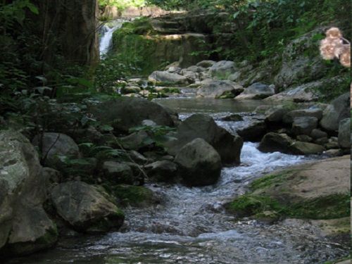
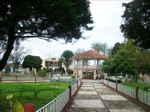
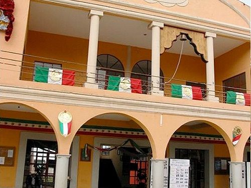
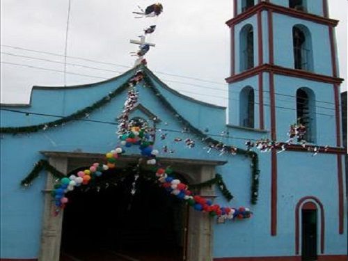
Xochiapulco is located in the Sierra Norte of the State of Puebla, (Mexico), the meaning of Xochiapulco is the name composed of the Nahuatl words: "xochitl", flower, and "Apulco", name of the largest, deepest and most extensive river in the Sierra del Norte, these words mean "The flower of Apulco", its main architectural construction is the parish temple dedicated to San Martin Caballero, located in the municipal seat built in the 16th century and the Museum of the Reform, the May 5th festival in honor of the heroes of May 5, with civic-military parades is the most important, for eco-tourists it has a waterfall "La Gloria" in the community of Atzala.

PASEOPORMEXICO.COM is a Mexican Portal with the purpose of providing information, creating ties and generating communities of Mexicans as well as people who live in other countries, who wish to know and contribute opinions, experiences about Mexico, its customs and cultural riches.
Copyright 2024 Paseo por México | Power by Gomogus.com